Welcome to Aerovision

We don’t just fly drones-we create solutions to your photography and drone needs.

Event Aerial Coverage

From music festivals and cultural exhibitions to corporate events, launches, and private celebrations, our drone cinematography transforms moments into timeless visuals. Our skilled pilots and creative crew capture events from stunning aerial perspectives, delivering breathtaking footage that reflects your event’s atmosphere, energy, and scale — perfect for promotional content, recap videos, and broadcast use.

Commercial Property & Real Estate Imaging

We offer cinematic visuals and precise imagery for property appraisals, advertising, and development planning. Using advanced zoom-enabled drones, we provide detailed perspectives of properties, land, gardens, and surrounding layouts — ideal for real estate agencies, property developers, and surveyors who value clarity and presentation.

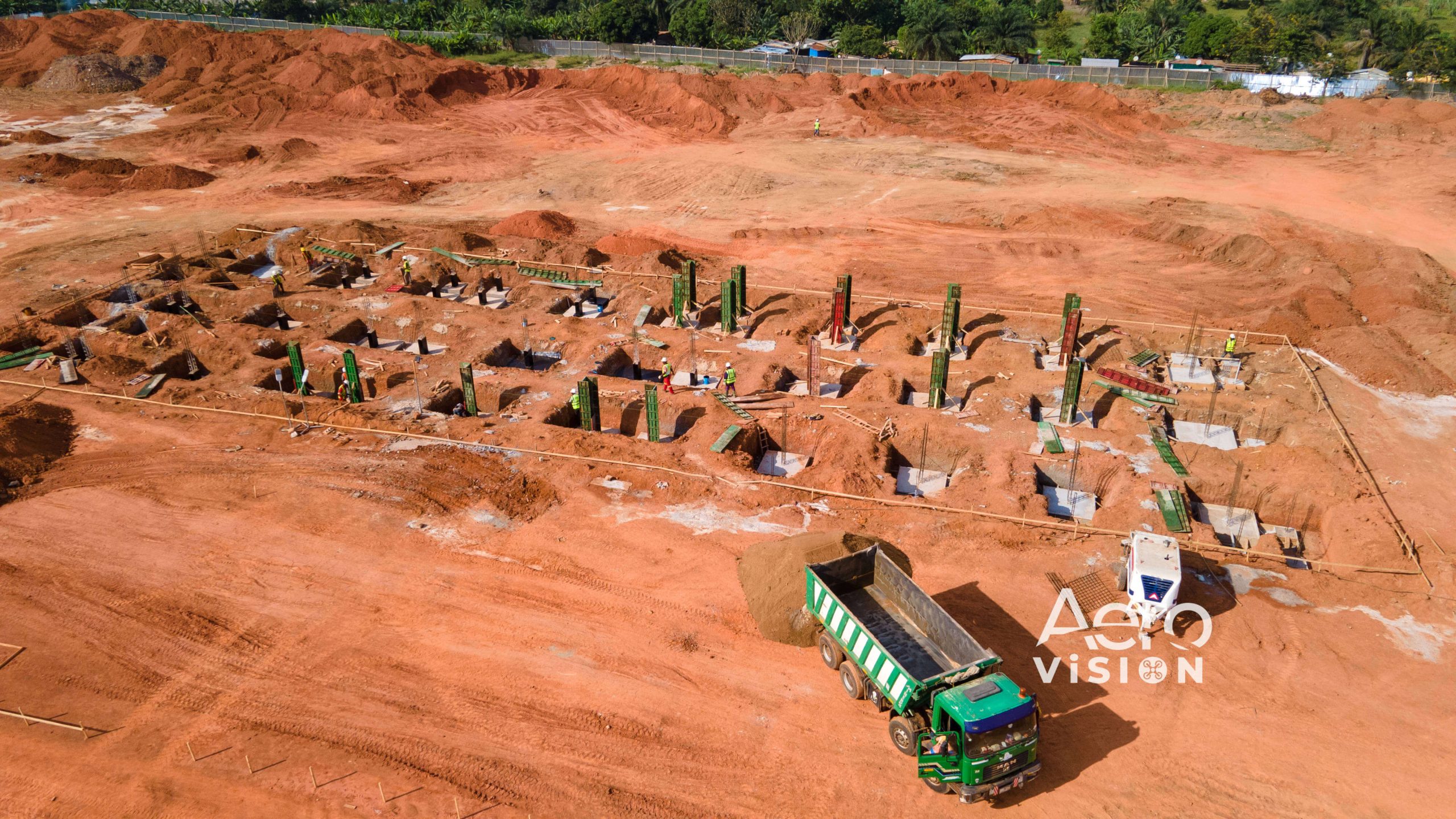
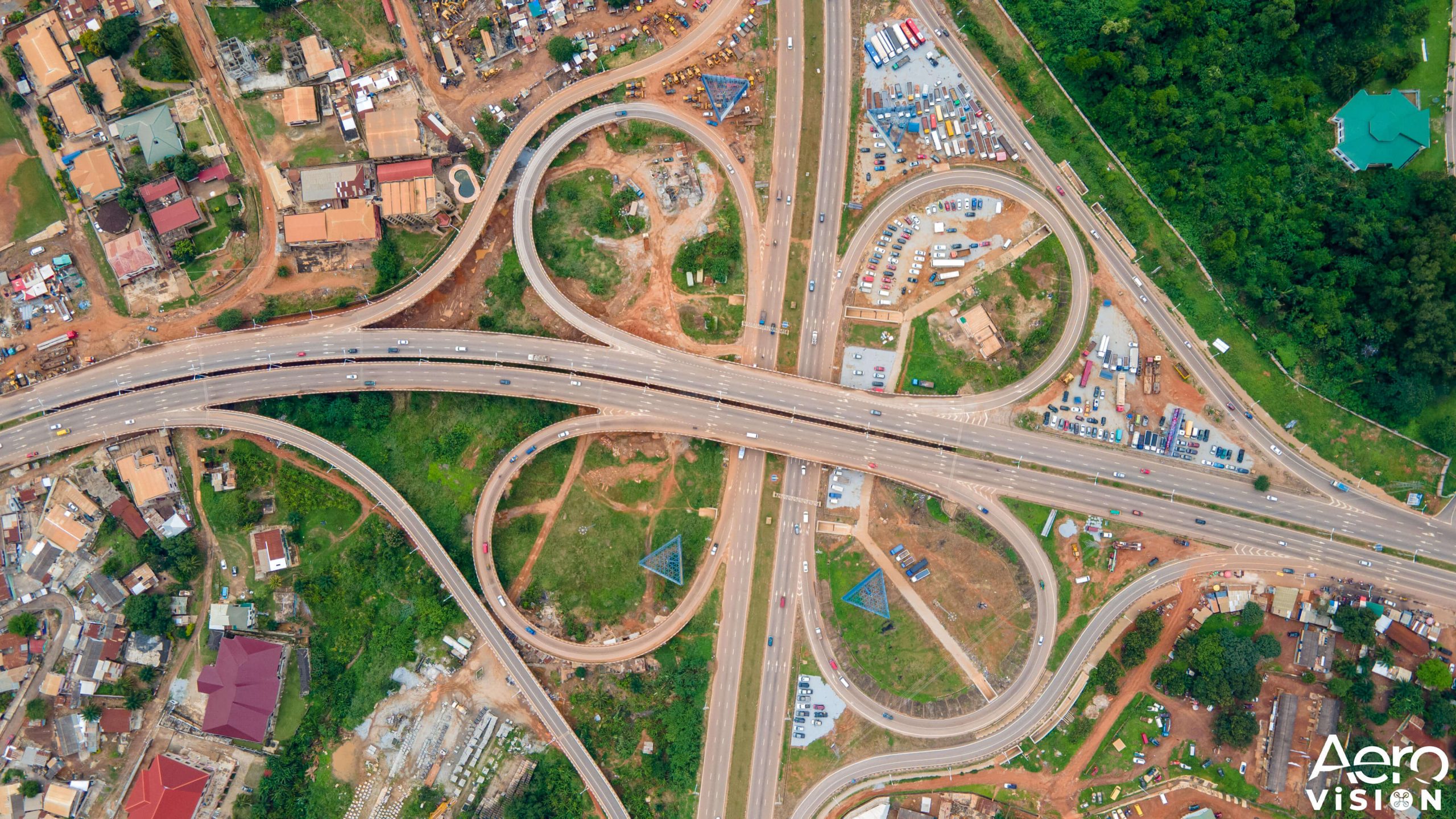
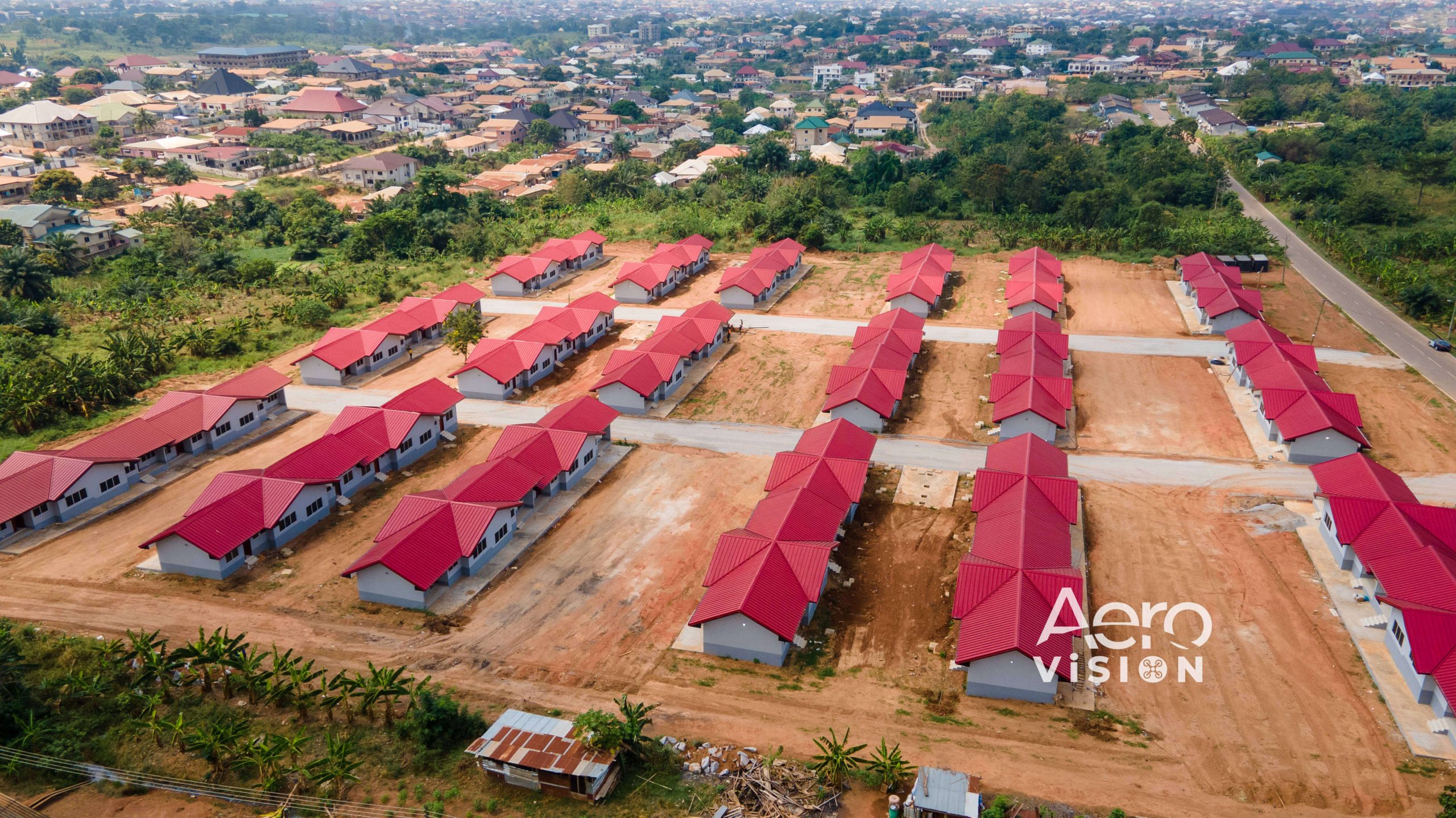
Aerial Mapping & Land Surveying

Aero Vision’s aerial mapping services deliver fast, cost-effective, and survey-grade data for industries including construction, agriculture, mining, and environmental management. Our team uses advanced photogrammetry and RTK solutions to generate elevation layers, slope measurements, digital terrain models (DTMs), 3D models, and 2D orthomosaic images — ensuring accuracy and efficiency from project start to completion.

Subscribers
0 K
Projects
0 +
Videos
0 +
Commercials
0 +

Gallery

Our Clients

Here are some amazing clients we’ve worked with

News

Let’s talk about your project